Spring
Wind and a late cold snap linger. Wild peach opens first, and the terraces are only just being turned.
Geographical region
On the loess plateau, tablelands are flat and gullies deep, with sharp drops between ridges. Cave dwellings, terraced fields and reforested slopes are common.
English summary
This is an English summary. The full entry is in Chinese. Read the full entry in Chinese
Northern Shaanxi takes in 2 prefecture-level cities and 25 county-level divisions: 4 districts, 19 counties and 2 county-level cities. Together they measure about 79,655 km², 38.9% of the province's measured area.
A region here is a geographical division, not an administrative one. Northern Shaanxi has no government of its own and no administrative boundary; the outline on this page is the union of its county boundaries, drawn so that the shape of the region can be read and measured.
The region runs about 352.1 km east to west and 471.7 km north to south, and its area-weighted centre sits near 37.2933°N · 109.4526°E.
Every figure here is aggregated from the 107 county pages on this site with the same boundary measurements. None of it is taken from an official statistical yearbook.
All 107 county-level divisions of Shaanxi are drawn: the ones in this region are shaded by city, the rest are left as a pale backdrop so the region reads as a piece of the whole. Figure labels are in Chinese.
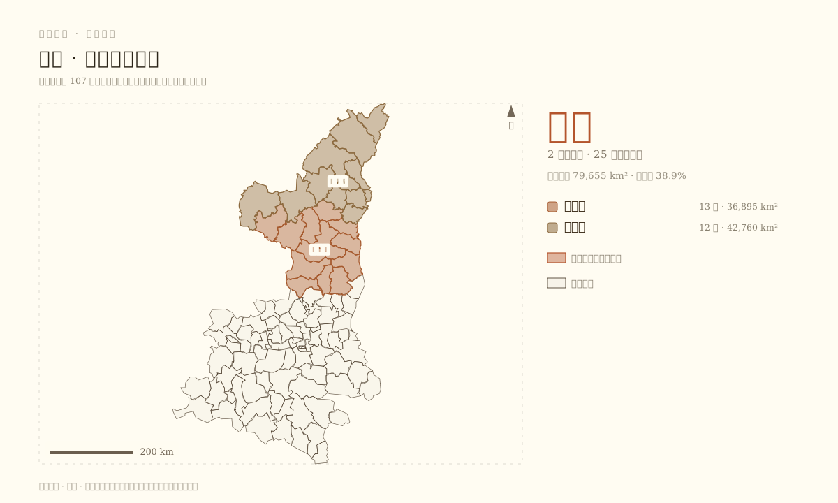
The plate is drawn from simplified county boundaries at 1200×720. Areas are measured on those simplified outlines and will differ slightly from official figures.
Listed by measured area, largest first. Each name opens that city's English page.
Every county-level division in the region, listed by administrative code — the same order as the Chinese edition. Each name opens its English county page.
Largest by measured area: Shenmu, about 7,451 km². Smallest by measured area: Wubu County, about 414 km².
Under this site's adjacency test, the 25 divisions of Northern Shaanxi share 52 borders with one another, and 10 borders cross into the 1 other regions.
Adjacency is tested on simplified geometry, so a division counts as a neighbour when its boundary comes within about a kilometre of another. Contiguous but separately drawn lines, and neighbours that meet at a single point, are both handled by this test rather than by eye.
The seasonal notes for Northern Shaanxi are written once for the region and reused by its cities. They describe what the landscape does, not what the weather records say.
Wind and a late cold snap linger. Wild peach opens first, and the terraces are only just being turned.
Grass fills the gullies and apricots dry in front of the cave dwellings. Thunderstorms arrive quickly and leave as quickly.
Millet, apples and red dates ripen one after another; the tablelands are at their most varied and most saturated.
Earth tones take over again, warm light shows through the windows of cave dwellings, and after snow the ridges read most clearly.
These are editorial descriptions, not climate data: no station, no normals and no averages stand behind them.
8 field photographs from this region, picked evenly from the 9 divisions that have one — a single picture each, all from Wikimedia Commons. Each picture opens the English county page for that division.
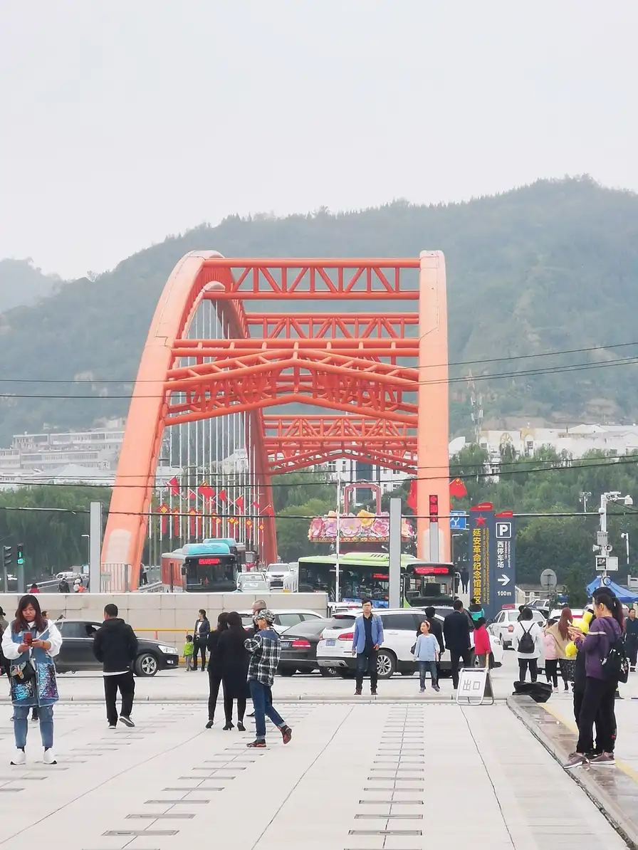
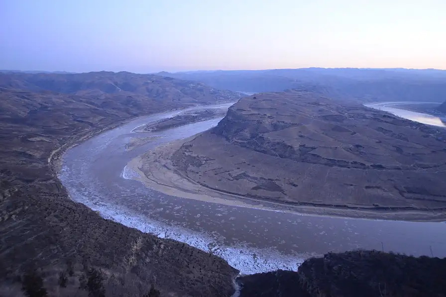
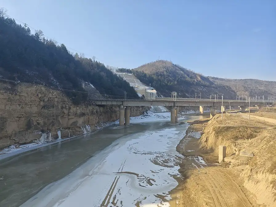
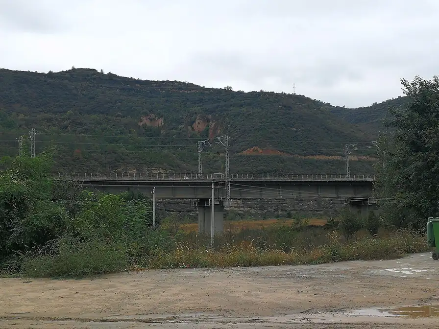
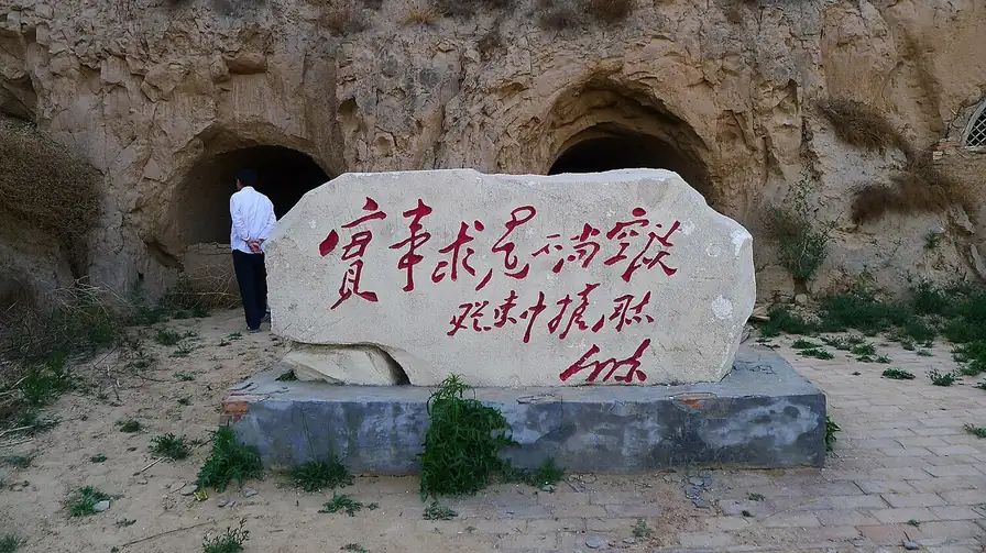
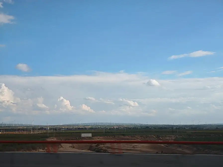
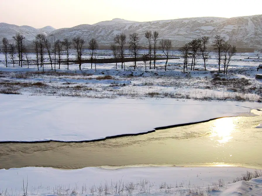
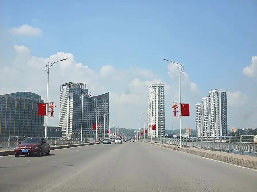
These are third-party photographs used under the licences named on each one, not maps and not this site's own illustrations.
Boundary, area and centre: DataV.GeoAtlas, measured on simplified geometry. Not an official statistic.
Name, type and parent city: DataV.GeoAtlas attributes, not individually checked.
Updated 2026-11-03